Interactive calamity model Delfland
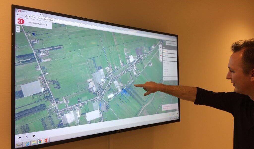
Many Dutch local water authorities use elevated canal networks for draining excess water from polders. In extreme weather conditions these networks may become over-loaded. To prevent flooding emergency measures may be necessary, for instance: the use of calamity basins and restricting the discharge from polders. In an extreme event, levees may overflow or even breach. In order to take the right measures during an emergency situation a calamity model of the canal network is essential. The water aut-hority of Delfland has developed a new interactive calamity model. This model enables the water authority to predict water levels during extreme weather conditions using real-time spatially distributed precipitation, wind and flooding scenarios interactively during (the onset of) an calamity.
Read the full article here.